How hot will Delhi
get by 2050?
Real CMIP6 projections for any city.
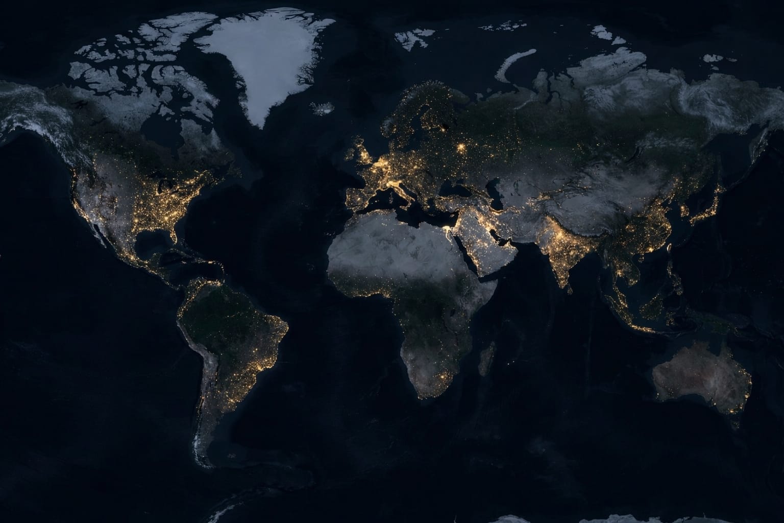
OpenPlanet pulls live ERA5 reanalysis and CMIP6 ensemble projections for any coordinate on Earth — no approximations, no black boxes.
49.2°C
Peak Tx5d
SSP5-8.5 · CMIP6 ensemble · 2050
32.4°C
Wet-bulb Temp
Stull 2011 · ERA5 humidity · 2050
68d
Heatwave Days / yr
Days above ERA5 P95 · CMIP6
Model validated against 5 historical heatwaves
△ Acute (<10-day) events underestimated by model — see methodology for details
Copernicus C3S ERA5 · CMIP6 MRI/MPI ensemble · Open-Meteo · NASA POWER · Gasparrini 2017 · Burke 2018
Open Science · Research Archive · Ecosystem Recognition
Published, documented, and independently referenced.
OpenPlanet's methodology is openly archived, documented in peer-reviewed technical literature, and referenced by international disaster risk, climate adaptation, and sustainability organisations.
Zenodo
Permanently archived in the open-science repository maintained by CERN and OpenAIRE — the same infrastructure used by research teams publishing in Nature, Science, and IPCC working groups. Every version is citable, reproducible, and DOI-registered.
Indexed · Google Scholar · OpenAIRE · DataCite
Towards Data Science
Medium Publications · 700K+ monthly readers
"From NetCDF to Insights: A Practical Pipeline for City-Level Climate Risk Analysis" — a documented walkthrough of the data engineering and scientific methodology behind OpenPlanet.
UNDRR PreventionWeb
United Nations · Office for Disaster Risk Reduction · Geneva
The UN's primary knowledge platform for researchers, practitioners, and policymakers operating under the Sendai Framework for Disaster Risk Reduction 2015–2030.
CAKE
Climate Adaptation Knowledge Exchange · EcoAdapt · USA
North America's primary open-access resource for climate adaptation science, used by government agencies, research institutions, and policy organisations.
ClimateBase
Climate Career & Research Directory · Global
Global directory connecting climate professionals, researchers, and organisations. Listed alongside tools from leading climate-tech institutions worldwide.
How it works
Type any city.
Get the real numbers.
Enter a city — Delhi, Phoenix, Lagos, anywhere — and within seconds you see projected heatwave days, peak temperatures, economic losses, and estimated mortality for 2030 and 2050.
Pull two cities side by side, adjust tree cover or cool roofs to see what intervention saves, or export the full calculation to Excel with every formula intact.
ERA5 reanalysis · CMIP6 ensemble (Open-Meteo) · NASA POWER · Gasparrini (2017) · Burke (2018)
City Risk Map
Interactive hex-grid heatmap. Visualise thermal exposure at neighbourhood scale.
Deep Dive Analysis
Survivability timeline, climate debt, adaptation ROI — all from real CMIP6 data.
City vs City Compare
Side-by-side metrics for any two cities. Same formula, transparent math.
Excel Audit Export
4-sheet model with live formulas. Every number traceable to its source.
Who uses OpenPlanet
Built for people who make decisions about places.
City Planners & Policy
- —Which neighbourhoods cross 35°C wet-bulb first?
- —How many cooling centres do we need by 2040?
- —What does +20% tree cover actually buy us?
Climate Researchers
- —Full audit trail — every formula, every source.
- —Exportable Excel model for peer review.
- —Gasparrini (2017) + Burke (2018) + Stull (2011).
Investors & Risk Teams
- —GDP-at-risk by city and scenario year.
- —NPV climate debt 2030–2050.
- —SSP2-4.5 and SSP5-8.5 side by side.
Any
Global Coordinate
4
Climate Scenarios
2050
Validated Horizon
5/5
Historical Backtests
All projections are research-grade estimates for analytical purposes only. Not investment advice. Not a deterministic forecast. Mortality estimates carry ±15% CI · Economic estimates carry ±8% CI.
Transparent science
Every number has a source.
No black boxes.
When you run a projection, every number links to its source — which formula produced it, which variables were used, and which peer-reviewed paper each constant came from. Confidence levels (high / medium) are shown on every metric.
The Excel export contains four sheets: a plain-language README, an editable control panel, the full mathematical engine, and a complete bibliography.
β = 0.0801 · dose-response · GBD meta-analysis
T_optimal = 13°C · GDP penalty function
40% workforce · 20% productivity loss / heatwave day
Capped 35°C — Sherwood & Huber (2010) PNAS
2015–2050 validated CMIP6 · horizon capped at 2050
Free · No account required · Open source
What is the heat risk
in your city?
Research-grade climate analysis in seconds. 5 climate-zone archetypes · validated against 5 historical heatwaves · every formula auditable.
How hot will Delhi
get by 2050?
Real CMIP6 data. Any city.
Live ERA5 reanalysis and CMIP6 ensemble projections — peer-reviewed physics, full audit trail.
Peak Tx5d
SSP5-8.5 · CMIP6 ensemble · 2050
49.2°C
Wet-bulb Temp
Stull 2011 · ERA5 humidity · 2050
32.4°C
Heatwave Days / yr
Days above ERA5 P95 · CMIP6
68d
Copernicus ERA5 · CMIP6 · NASA POWER · Gasparrini 2017 · Burke 2018
Peer-Reviewed & Recognised
Validated by international institutions.
Published through open-science infrastructure and cited by organisations at the frontier of global climate risk.
Zenodo
DOI 10.5281/zenodo.19340991
Open-access repository by CERN and OpenAIRE — the same infrastructure used by IPCC researchers. Every version permanently archived and citable.
UNDRR PreventionWeb
RecognisedUnited Nations · Geneva
UN's primary platform for disaster risk reduction researchers and policymakers worldwide.
CAKE
RecognisedEcoAdapt · USA
North America's leading open-access hub for climate adaptation science and practice.
ClimateBase
RecognisedClimate Tech · Global
Global platform for climate professionals, investors, and research organisations.
How it works
Type any city.
Get the real numbers.
Enter a city — Delhi, Phoenix, Lagos, anywhere — and within seconds you see projected heatwave days, peak temperatures, economic losses, and estimated mortality for 2030 and 2050.
Pull two cities side by side, adjust tree cover or cool roofs to see what intervention saves, or export the full calculation to Excel.
ERA5 reanalysis · CMIP6 ensemble · World Bank GDP · Gasparrini (2017) · Burke (2018)
City Risk Map
Interactive hex-grid heatmap at neighbourhood scale.
Deep Dive Analysis
Survivability timeline, climate debt, adaptation ROI.
City vs City Compare
Side-by-side metrics for any two cities. Transparent math.
Excel Audit Export
4-sheet model with live formulas, every number sourced.
Who uses OpenPlanet
Built for people who make decisions about places.
City Planners & Policy
- —Which neighbourhoods cross 35°C wet-bulb first?
- —How many cooling centres do we need by 2040?
- —What does +20% tree cover actually buy us?
Climate Researchers
- —Full audit trail — every formula, every source.
- —Exportable Excel model for peer review.
- —Gasparrini (2017) + Burke (2018) + Stull (2011).
Investors & Risk Teams
- —GDP-at-risk by city and scenario year.
- —NPV climate debt 2030–2050.
- —SSP2-4.5 and SSP5-8.5 side by side.
Any
Global Coordinate
4
Climate Scenarios
2050
Validated Horizon
5/5
Historical Backtests
All projections are research-grade estimates for analytical purposes only. Not investment advice. Mortality ±15% CI · Economic ±8% CI.
Transparent science
Every number has a source.
No black boxes.
Every number links back to its formula and source paper. Confidence levels (high / medium) are shown on each metric — so you always know what to trust.
Lancet Planetary Health
β = 0.0801 · dose-response · GBD meta-analysis
Nature
T_optimal = 13°C · GDP penalty function
Working on a Warmer Planet
40% workforce · 20% productivity per heatwave day
J. Applied Meteorology
Capped 35°C — Sherwood & Huber (2010) PNAS
ERA5 + MRI/MPI ensemble
2015–2050 validated CMIP6 · horizon capped 2050
Free · Open source · No account required
What is the heat risk
in your city?
5 climate-zone archetypes · validated against 5 historical heatwaves · every formula auditable.
Disclaimer
OpenPlanet is a computational estimation engine based on global meta-analyses (Gasparrini 2017, Burke 2018). Designed for directional risk visualization and strategic planning, not localized actuarial or medical forecasting.