Document Ref: OP-TOS-01 · Effective: March 2026
Terms of Service
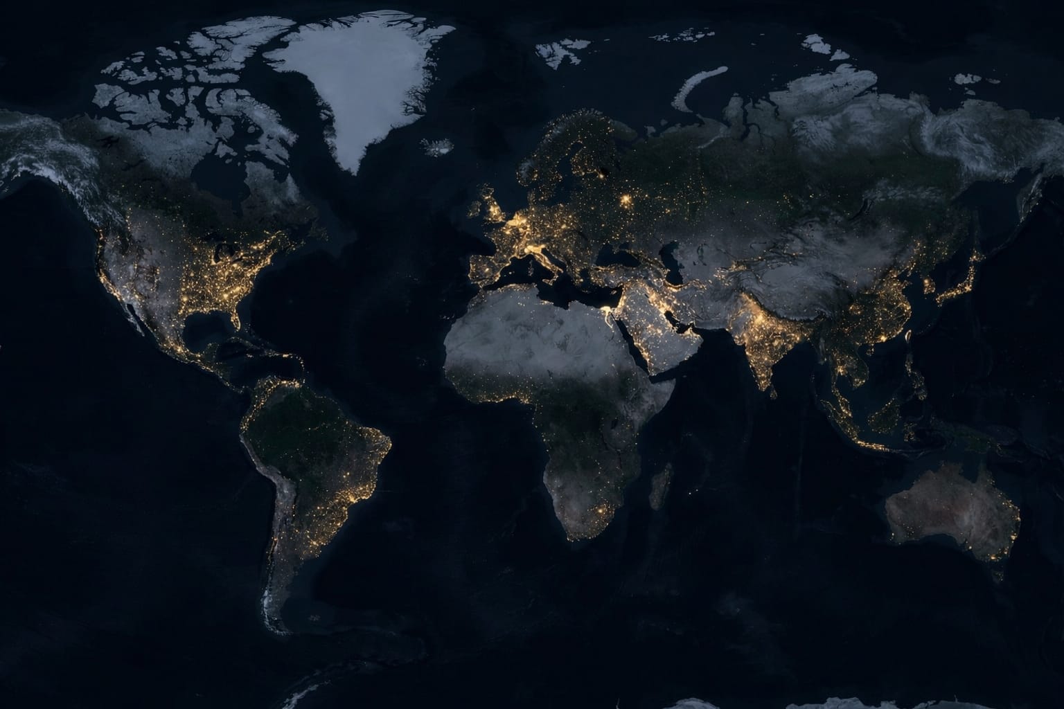
OpenPlanet is an open-source educational instrument that provides directional academic risk intelligence. All climate outputs are derived directly from Copernicus C3S ERA5 reanalysis archives and CMIP6 ensemble data, processed through peer-reviewed epidemiological and economic models. By using this platform you accept the terms below.
1.0Nature of the Service — Educational Risk Intelligence
OpenPlanet is a computational estimation engine, not a licensed advisory service. Outputs are research-grade directional indicators for academic, planning, and educational purposes. All projections are:
- Derived from publicly documented scientific models (Gasparrini 2017, Burke 2018, Stull 2011, Sherwood & Huber 2010) with all equations reproduced exactly as published.
- Sourced from Copernicus C3S ERA5 reanalysis and CMIP6 model outputs — open-access public-domain archives.
- Capped at the year 2050 — the validated horizon for the CMIP6 spatial outputs used. No post-2050 extrapolation is performed.
- Probabilistic estimates with explicitly stated confidence intervals (mortality ±15%, economics ±8%), not deterministic forecasts.
2.0Limitation of Liability
All projections are provided strictly for informational and research purposes.
- No financial advice: Outputs do not constitute investment, legal, or financial advice. Independent due diligence is required before any capital allocation decisions.
- No operational reliance: This platform is not a real-time emergency alert system and must not be used as the sole basis for immediate life-safety operations or disaster response.
- No warranty: The provider does not warrant the absolute accuracy of underlying third-party datasets. Models are subject to scientific uncertainty and evolving methodological standards.
- Liability cap: Under no circumstances shall the provider or contributors be liable for direct, indirect, or consequential losses arising from use of platform outputs.
3.0Scientific Uncertainty and Data Provenance
The engine aggregates data from open-access global scientific archives. Primary data attribution: ERA5 reanalysis — Copernicus C3S / ECMWF (Hersbach et al. 2020); CMIP6 projections — World Climate Research Programme; socioeconomic data — UN Population Division, World Bank. Users accept that macro-environmental models carry inherent uncertainty arising from CMIP6 ensemble spread, 31 km spatial downscaling resolution, and future adaptation behaviour not captured in historical coefficient derivations.
4.0Open-Source Licence and Acceptable Use
OpenPlanet is an open-source project. The source code, model documentation, and analytical methodology are publicly available. Users are granted unrestricted access for educational, research, and non-commercial planning purposes. Commercial use of raw outputs in downstream products or services requires attribution to the original data sources (Copernicus C3S, CMIP6, cited peer-reviewed literature).
Any attempt to artificially inflate simulation limits, bypass authentication gateways, or disrupt the spatial computing engine constitutes a violation of acceptable use and will result in immediate session termination.
5.0Analyst Summary Methodology
The "Analyst Summary" feature applies a large language model to synthesise publicly available geoscientific literature relevant to the queried location. Summaries represent rigorous statistical downscaling narrative based on the computed metrics — they are not speculative forecasts. All quantitative claims within analyst summaries are anchored to the engine's verified CMIP6 output and must be interpreted within the stated confidence intervals.
OpenPlanet is an open-source project. Climate data © Copernicus Climate Change Service (C3S), ECMWF. CMIP6 data via World Climate Research Programme. All projections for academic and planning use only.